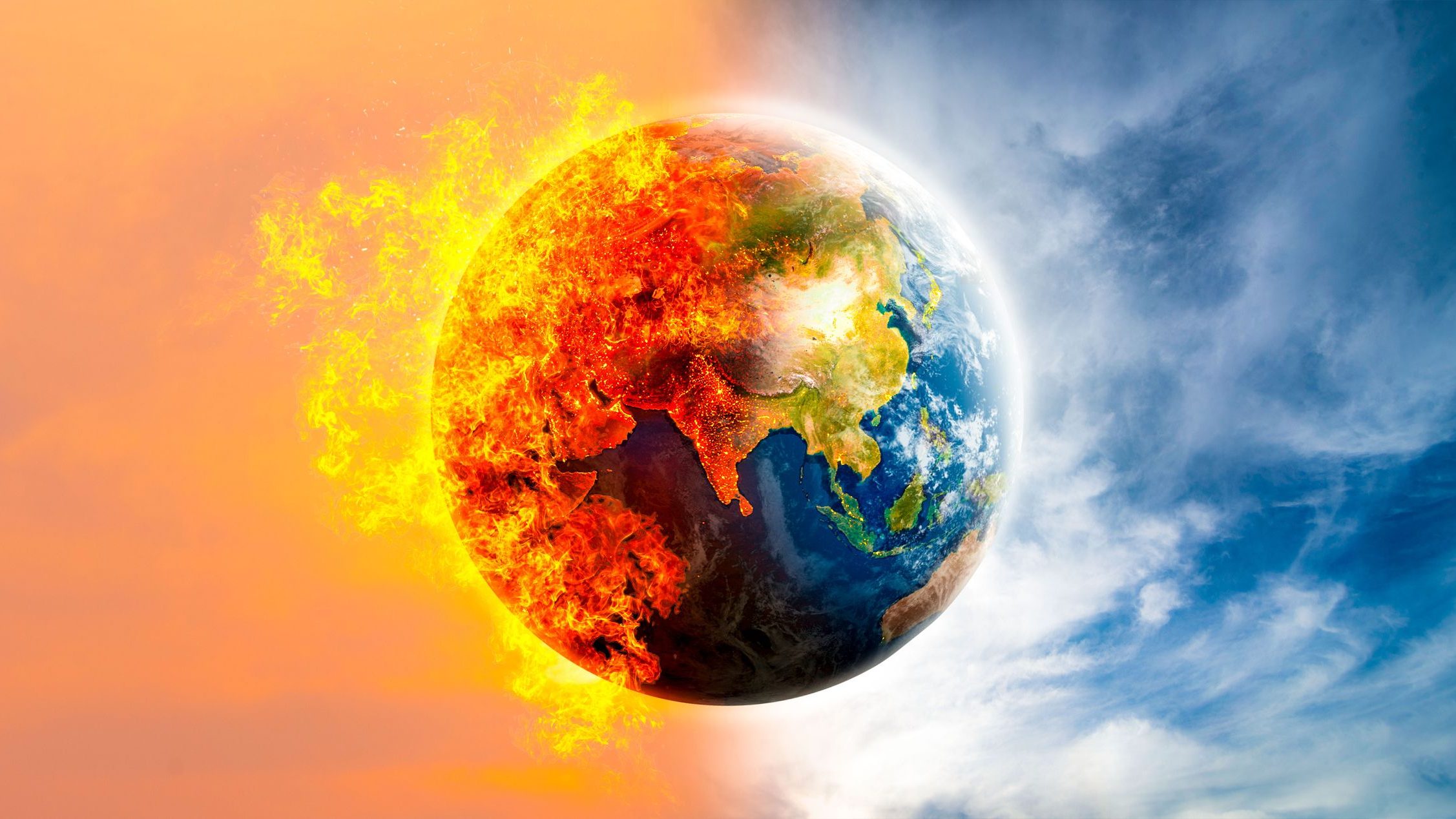
It has been confirmed that 2023 was the hottest year on record, driven by human-caused warming but also boosted by a natural weather system called El Niño. The continuing effect means that 2024 could see even higher temperatures. It was also confirmed by the United Nations and it urged drastic emissions cuts to combat climate change.
1. What is El Niño?
El Niño, meaning “The Little Boy” in Spanish, is a fascinating climate pattern that affects not just the Pacific Ocean, but weather patterns around the globe. It’s essentially a periodic warming of the ocean surface in the central and eastern equatorial Pacific, and it’s the “Warm Phase” of a larger phenomenon called the El Niño-Southern Oscillation (ENSO).
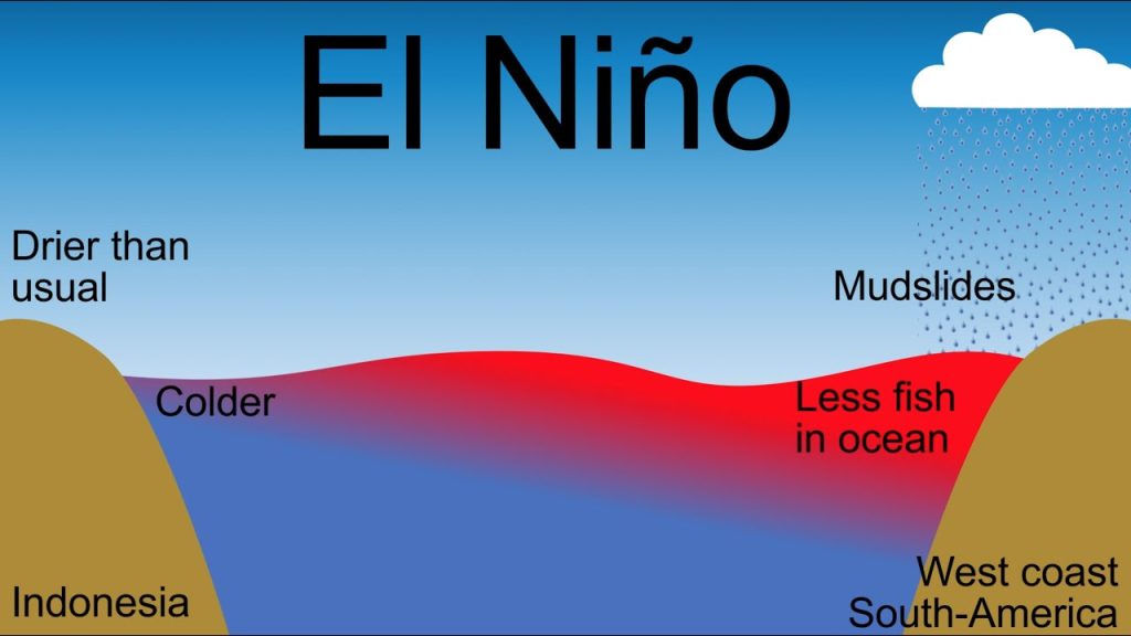
- Normally, strong trade winds blow westward along the equator, pushing warm surface water towards Asia. This creates a “Cold Tongue” of upwelled deep ocean water off the coast of South America.
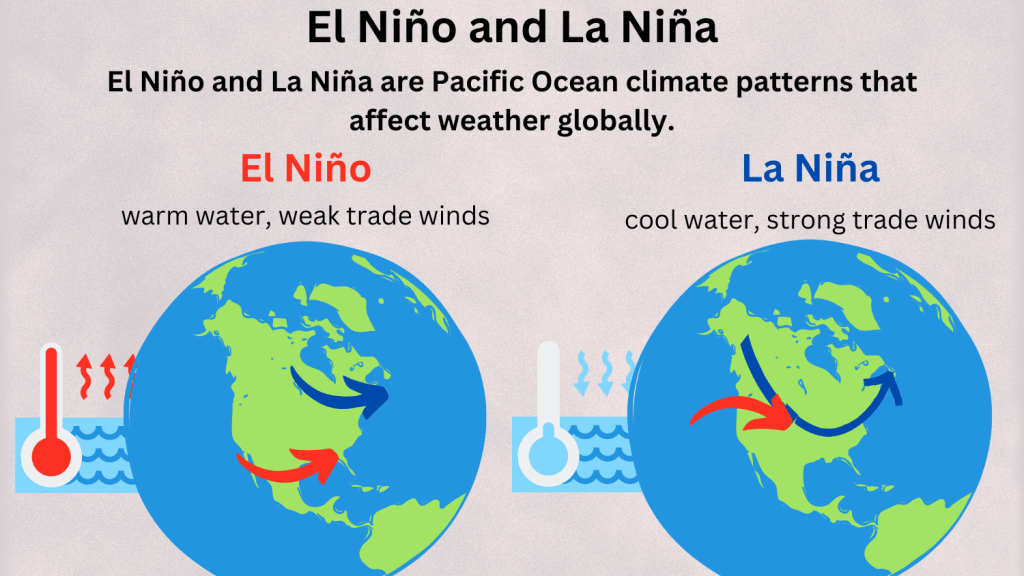
- During El Niño, these trade winds weaken or even reverse direction. This allows the warm water to pile up near the Americas, disrupting the usual ocean circulation and influencing atmospheric patterns.
The “Dance” between the ocean and atmosphere unfolds like this:
- Warmer Ocean: The increased ocean temperatures boost evaporation, leading to more moisture in the air.
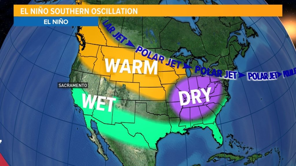
- Shifted Jet Stream: The warmer air alters the path of the jet stream, a high-altitude wind that steers weather systems.
- Global Weather Impacts: Depending on the location, El Niño can bring:
- Increased rainfall in California and the southern US
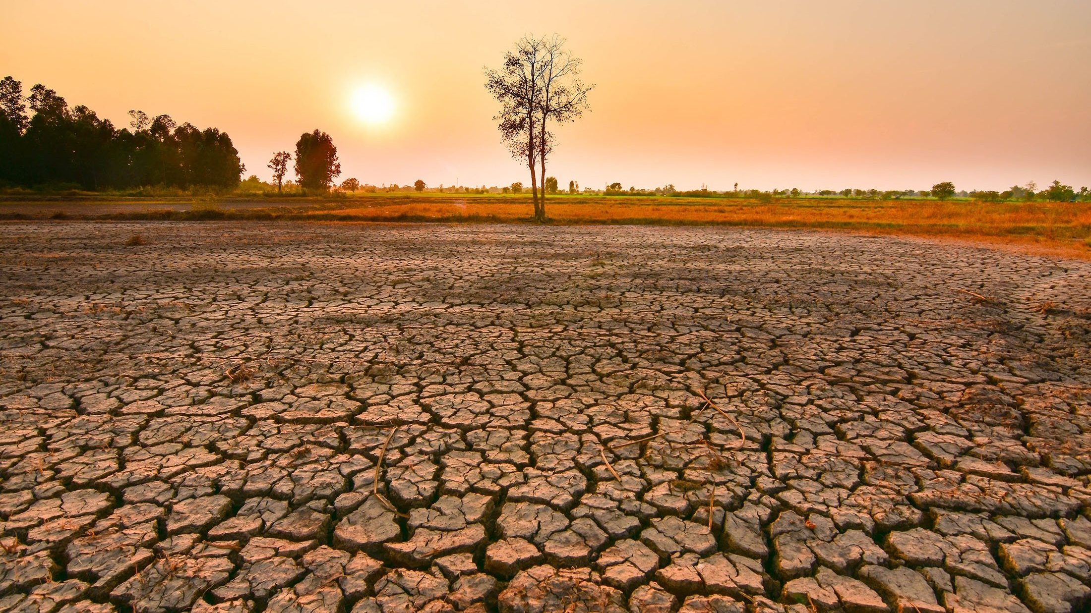
- Droughts in Indonesia and Australia
- Warmer winters in Europe
- Stronger storms in the Pacific Ocean
El Niño’s impacts extend beyond weather:
- Fisheries: Warmer waters can disrupt fish populations, affecting coastal communities.
- Agriculture: Droughts and floods can devastate crops, impacting food security.
- Ecosystems: Changes in temperature and precipitation can harm sensitive ecosystems.
Scientists monitor ocean temperatures and atmospheric patterns to forecast El Niño events. Knowing when El Niño is developing allows communities to prepare for potential impacts, like managing water resources or implementing drought mitigation strategies. El Niño is a natural part of Earth’s climate system, but its impacts can be significant. Understanding this phenomenon helps us adapt and be better prepared for the fluctuations it brings.
2. What is La Niña?
La Niña, meaning “The Little Girl” in Spanish, is the cool counterpart to El Niño, forming the other half of the El Niño-Southern Oscillation (ENSO) climate pattern. While El Niño brings warmth, La Niña ushers in a period of cooler ocean temperatures in the central and eastern equatorial Pacific.
- Stronger Trade Winds: Unlike El Niño’s weakened winds, La Niña boasts even stronger trade winds. These winds push more warm water westward towards Asia, causing the ocean off South America to cool down.
- Upwelling: The stronger winds also trigger upwelling, bringing cold, nutrient-rich water from the deep to the surface. This further cools the Pacific and boosts marine life.
- Jet Stream Shift: Like El Niño, La Niña alters the jet stream, but in the opposite direction. This leads to different global weather patterns.
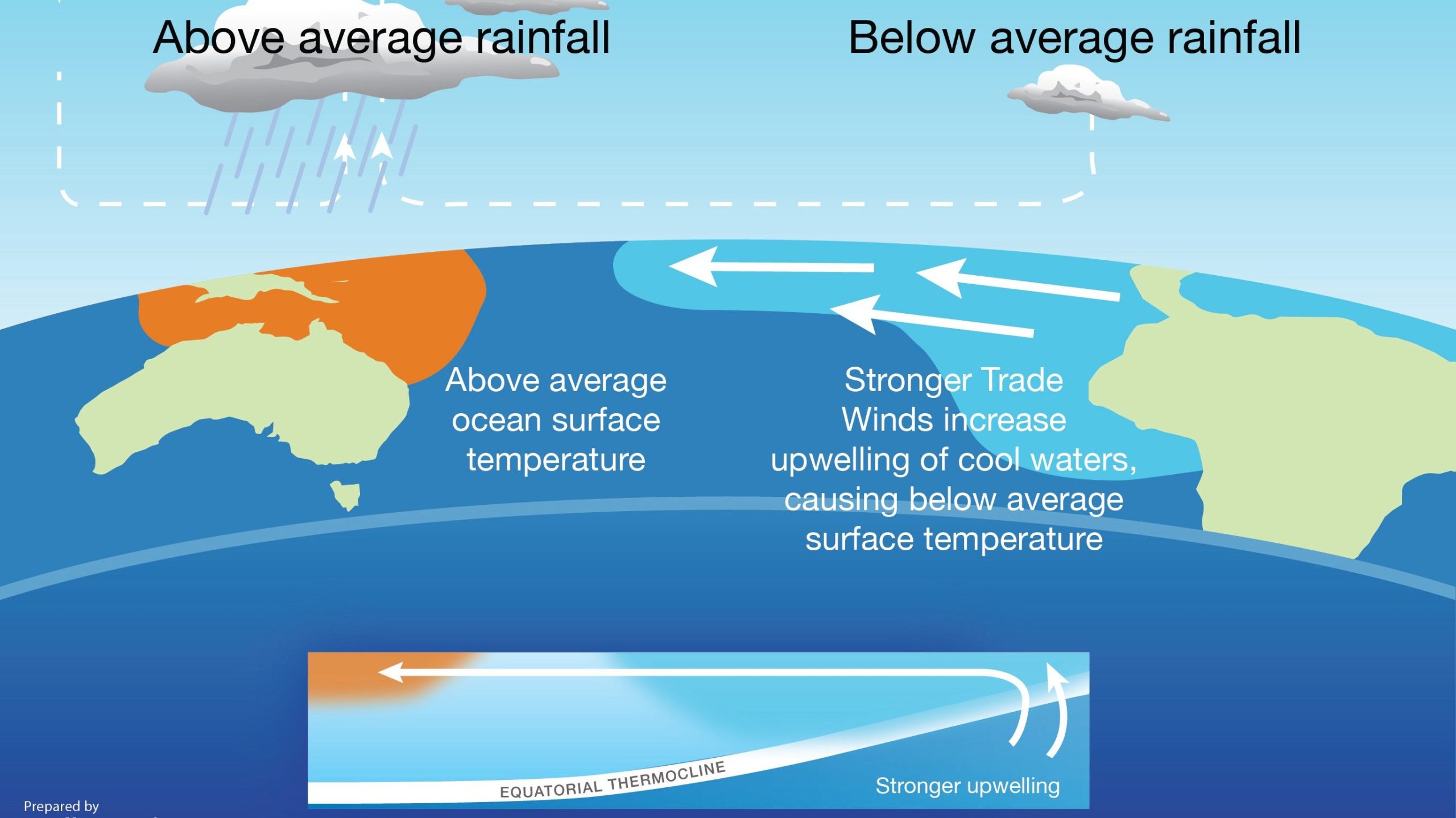
La Niña’s global impacts differ too:
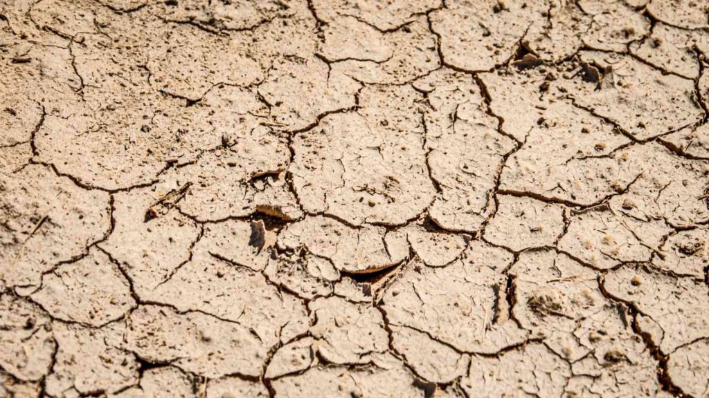
- Dryer Conditions: The North Pacific sees reduced rainfall, leading to drier weather in the southern US and parts of Africa.
- Wetter Seasons: Some regions like the Pacific Northwest and Canada experience increased precipitation and flooding.
- Colder Winters: Cooler air masses associated with La Niña bring colder-than-usual winters to North America and Europe.
- Hurricane Impacts: La Niña can cause a more active hurricane season in the Atlantic.
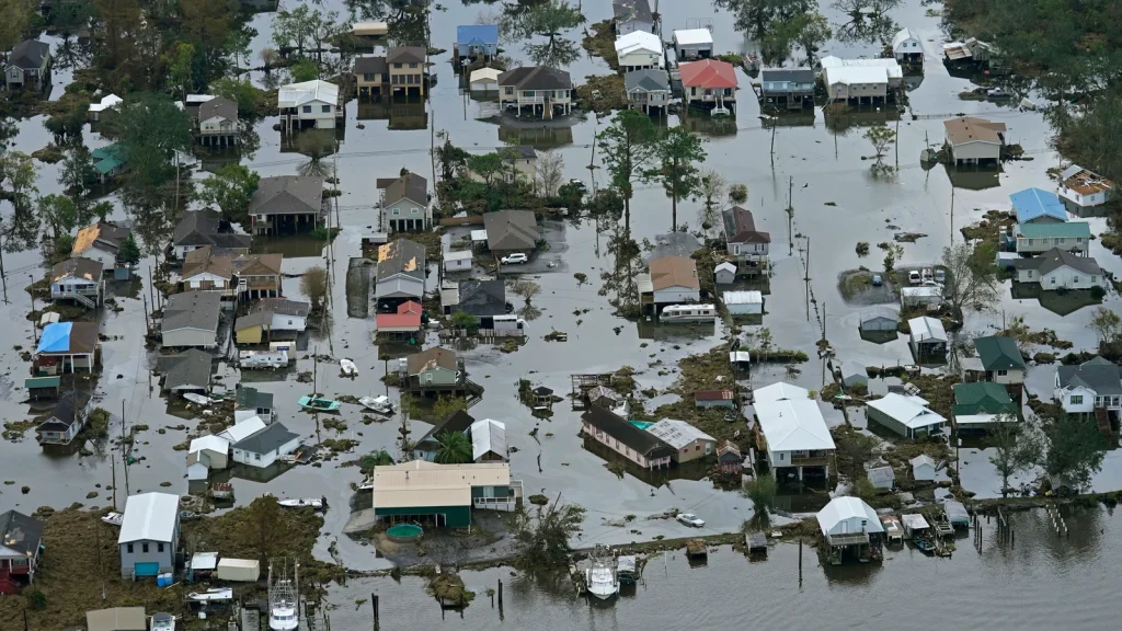
La Niña’s effects have far-reaching consequences:
- Agriculture: Droughts can impact crop yields, affecting food security.
- Water Management: Regions experiencing drier conditions need to be prepared for potential water shortages.
- Ecosystems: Changes in temperature and precipitation can disrupt sensitive ecosystems, altering plant and animal populations.
Just like El Niño, scientists monitor ocean temperatures and atmospheric patterns to forecast La Niña events. This allows communities to prepare for potential impacts, like implementing drought mitigation strategies or adjusting agricultural practices. La Niña, as you see, is a powerful ocean-atmospheric phenomenon with a significant influence on global weather patterns. Understanding it helps us anticipate and address its potential consequences.
3. How do El Niño and La Niña affect the weather?
Not every ENSO event is the same, and the repercussions vary by area. However, scientists have seen certain common effects:
During El Niño, global temperatures normally rise, but during La Niña, they decline. El Niño causes warm water to spread further and stay closer to the surface. This causes more heat to be released into the atmosphere, resulting in wetter and warmer air. However, regional impacts are complex, and some areas may experience both higher and lower temperatures than predicted at various times of the year.
El Niño conditions, along with long-term human-caused warming, resulted in 2023 becoming the warmest year on record. According to the UK Met Office, El Niño might lead to even higher temperatures in 2024, although this is not guaranteed. As heat flows from the sea surface to the sky, air temperatures normally peak a few months after El Nio reaches its greatest power. According to NOAA, El Niño is predicted to decline in the next few months after reaching its peak level in early January 2024.
4. How often do El Niño and La Niña episodes happen?
The frequency of El Niño and La Niña is a little like a rollercoaster, not a predictable schedule. They typically occur every 2 to 7 years on average, but the interval between events can vary significantly:
El Niño: Generally a bit more frequent, with events sometimes occurring as close as 2 years apart, while other times stretching up to 7 years in between.
La Niña: Slightly less common, with episodes usually spaced 2 to 5 years apart, but occasionally taking a break for as long as 7 years.
It’s important to remember that these are just averages. There’s no fixed pattern and the ENSO cycle can be quite irregular. We’ve even seen several El Niño or La Niña events consecutively in some periods. The length of each event also varies, with El Niño typically lasting 9-12 months and La Niña lasting 1-3 years.
Despite the unpredictable nature, scientists continuously monitor the ocean and atmosphere using advanced models and observations. This allows them to forecast El Niño and La Niña events months in advance, helping communities prepare for their potential impacts.
5. Is climate change affecting El Niño/La Niña?
The relationship between climate change and El Niño/La Niña (ENSO) is a complex and fascinating area of ongoing research. There’s no simple yes or no answer, but here’s what we know so far:
Possible Impacts of Climate Change:
Increased Frequency and Intensity: Some studies suggest climate change may influence the frequency and intensity of El Niño and La Niña events. A warmer planet could amplify the existing ENSO cycle, leading to more frequent swings between warm and cool phases, with stronger impacts on global weather patterns.
Altered Impacts: Even if the frequency remains unchanged, climate change could alter the regional impacts of El Niño and La Niña. For example, warming oceans could exacerbate droughts in certain regions, while intensifying rainfall in others.
Uncertainties Remain: While many scientists believe climate change plays a role, pinpointing the exact extent and mechanisms is still challenging. Long-term data sets and sophisticated climate models are needed to solidify the connection.
Evidence for Influence:
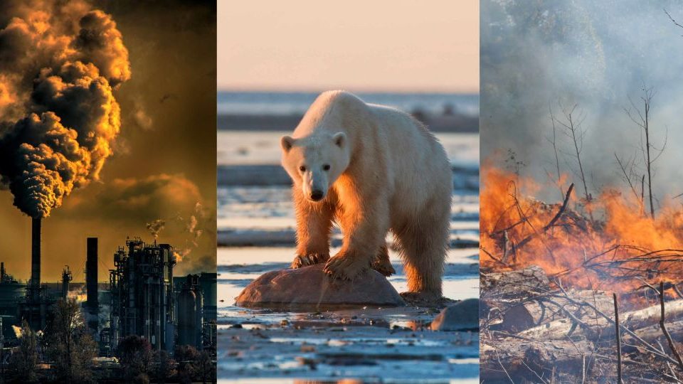
Stronger Events: Recent decades have witnessed some exceptionally strong El Niño and La Niña events, raising questions about whether climate change is intensifying them. 2015-2016 El Niño and the triple-dip La Niña of 2020-2023 are examples.
Shifts in Ocean Circulation: Climate change is altering ocean circulation patterns, which could be influencing the ENSO cycle. Warming weakens trade winds, potentially contributing to stronger La Niña conditions.
Model Projections: Climate models often simulate more frequent and intense ENSO events under future warming scenarios.
6. How will El Niño impact America’s climate and agriculture this year?
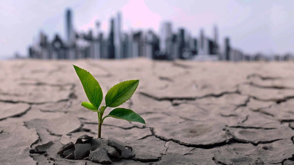
Predicting the precise impact of El Niño on America’s climate and agriculture for the entire year can be challenging, as the specific effects vary regionally and depend on the intensity and duration of the event. However, based on current models and past El Niño occurrences, here’s a general outlook for:
Climate:
- Winter (January-March):
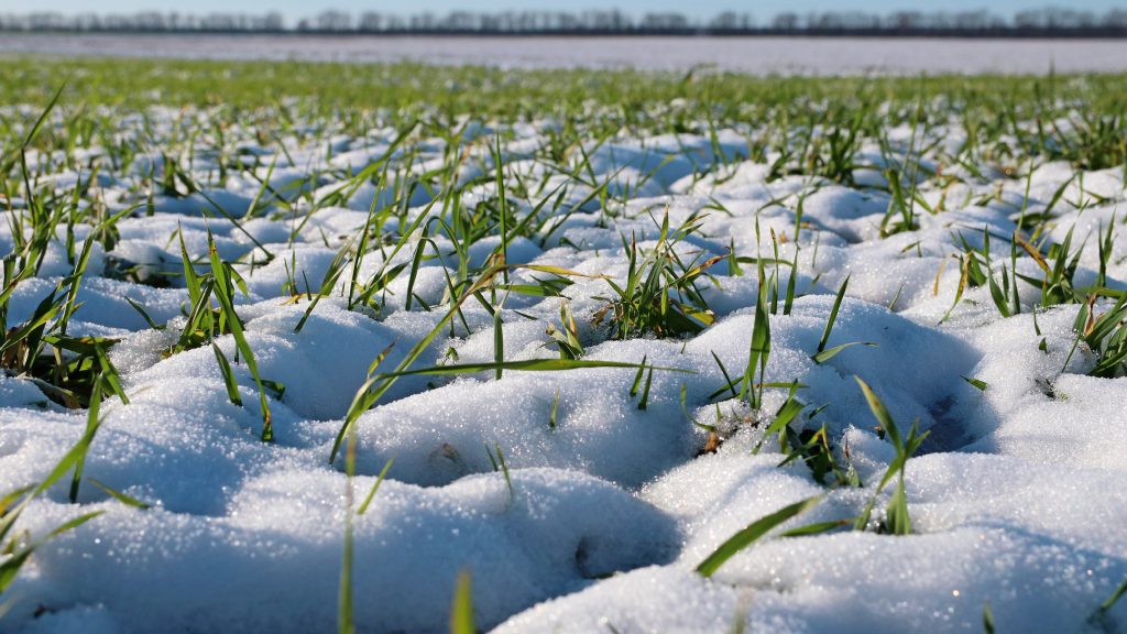
The Southwest and West Coast are likely to experience warmer and drier conditions, potentially resulting in reduced snowpack and earlier-than-usual melting. The Great Plains and Midwest might see increased precipitation, leading to potential flooding risks in some areas. The Northeast and Southeast may experience relatively normal winter weather patterns.
- Spring (April-June):
The West Coast’s drought conditions may persist, with reduced rainfall and increased wildfire risk. The Great Plains and Midwest might see continued or intensified heavy rainfall, while the South could experience drier-than-usual spring.
- Summer (July-September):
Increased heat waves are possible across the country, particularly in the West and Southwest. The Atlantic hurricane season could be more active than average, potentially bringing stronger and more frequent storms to the East Coast.
- Fall (October-December):
While predicting fall weather patterns during El Niño is notoriously difficult, the mixed effects are observed in different regions.
Agriculture:
- Droughts: The West Coast’s ongoing drought could worsen, impacting crops like fruits, vegetables, and nuts. Reduced water availability may also affect livestock production.
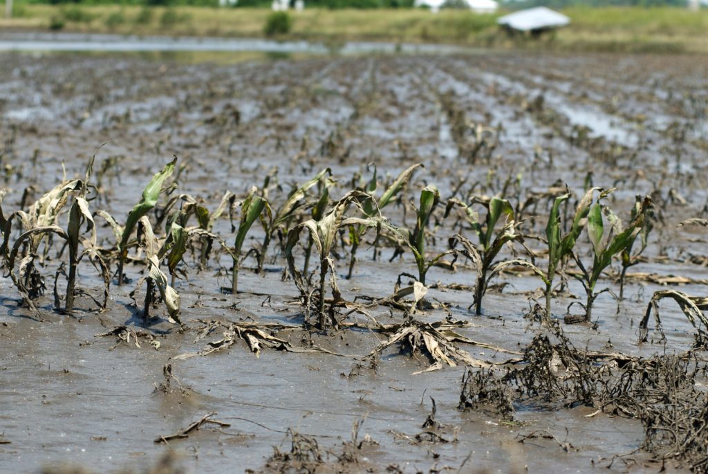
- Flooding: Heavy rainfall in the Great Plains and Midwest could damage crops like corn and soybeans. Early flooding might disrupt planting seasons, adding to agricultural challenges.
- Pest outbreaks: Warmer temperatures and moisture changes can create favorable conditions for pest outbreaks, leading to increased crop losses in some areas.
So, it’s important to note that these are general trends, and the specific impacts will vary depending on location. El Niño’s strength and duration significantly influence its effects. For this reason, stronger or longer-lasting event can lead to more pronounced climate and agricultural impacts. Local weather patterns and other climate factors can also play a role in shaping the actual impacts.
Therefore, staying informed about local weather forecasts and updates from agricultural authorities is crucial for farmers and communities to prepare for and mitigate potential risks associated with El Niño.


GIPHY App Key not set. Please check settings